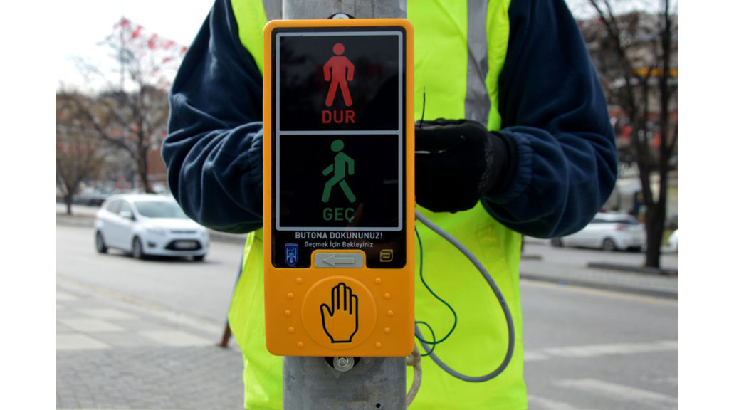
What Are The Transfer Methods of Signalization Projects to The Digital Media?
With the developing technology, the projects have been moved from paper sheet media to digital media, and this environment has brought various opportunities to project development methods by providing various possibilities for designing, updating and storing data. As with many project types, signaling projects are also digitized and stored using digital methods. These digitization methods are provided with different types of software. foremost among these are CAD and GIS software, which have kept up to date and widespread in recent years. The opportunities that each of these types of softwares provide in signaling projects are different. The opportunities provided by CAD and GIS software and their comparisons will be discussed in subtitles.
Computer-Aided Design (CAD)
Computer-aided design (CAD); the using of computer technology to show design, drawing and graphic information. It is one of the software covering various fields. It helps to strengthen your entire workflow because of it has solutions for architecture, engineering, construction and product design. It is a powerful software which has flexible features that can offer 2D and 3D designs.
Geographical Information Systems (GIS)
Geographic information systems are information systems that store, process, analyze and display of spatial and non-spatial data. The main purpose of the geographical data infrastructure is to provide an environment where regional and national geographic information systems can interact with technology through which they can collaborate with each other. In recent years, Geographical Information Systems, which enable all the spatial and non-spatial data of the earth ( especially in crowded cities )to be transferred to the computer environment and analyzed, has become an important need. GIS eases the management, production and share of information by providing the opportunity to approach information from different perspectives.
In our country, geographic data management strategies are needed that can developable, sustainable, implement viable and contribute to national and international expectations, coordinate corporate stakeholders.
The components of GIS are mainly hardware (computer), software (GIS programs used), geographic data, data management, analysis methods and users. Every object displayed as dots, lines and polygons on the earth is stored and managed in a database in GIS. One of the most important features of GIS data management and operation is the layered structure of GIS. In this unique structure of GIS, data is stored in different layers and transactions are performed. For Example; geological features, condition of groundwater, streams, land use, etc. on a land map is stored in separate layers and the layers requested by the user are superimposed and displayed on the screen.
The Opportunities of GIS for Projects
GIS, helps to individuals, institutions and organizations to make decisions in their work on spatial data. In other words, GIS contains important features such as database management, analysis, sampling ability and decision support mechanism during studies.
Such abilities always make Geographic Information Systems more advantageous than other systems. A few examples can be given in terms of GIS benefits;
- Accelerates the flow of information,
- Provides a better decision-making mechanism,
- Provides more efficient production and document management by increasing work efficiency,
- Saves cost,
- Provides improved communication,
- Provides effective and accurate investigations (urgent interference, important information reviews, etc.),
- Easy to update data,
- Prevents data repetition,
- It ensures that the geometric data remain consistent within itself,
- It provides easy integration,
Geographic information systems software’s use of spatial and non-spatial attribute data, showing topology independently from geometry, are two of the most important features seperated from computer-aided drawing and design software.
Storing spatial relationships with topological data structure in geographic information systems;
- Performing spatial analysis,
- Prevents data repetition,
- Geometric data has its own standards
- It provides faster access to data.